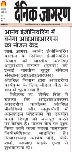
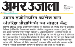
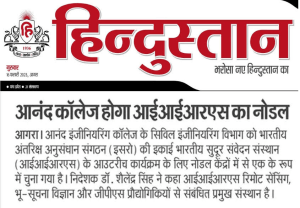
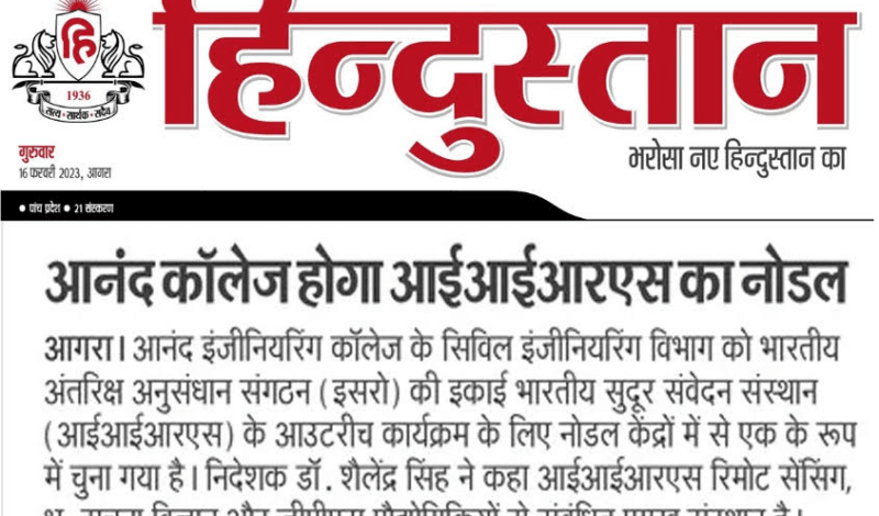
Civil Engineering Department of Anand Engineering College Situated in Agra is selected as nodal centre by Indian Institute of Remote Sensing (IIRS) a unit of Indian Space Research Organisation (ISRO), Department of Space(DOS).
Dr. Shailendra Singh, Director of the college said, “IIRS is a premier training, education and research organization established to groom technocrats in the area of Remote Sensing, Geo-informatics and GPS technologies and their applications. IIRS Outreach Program focuses on strengthening education and user segments using online learning platforms in space technology and its applications. The initial focus of IIRS was to use EDUSAT/INSAT 4CR satellites for distance education, but the scope was extended to use the Internet to provide access to multiple institutions/universities/individuals.
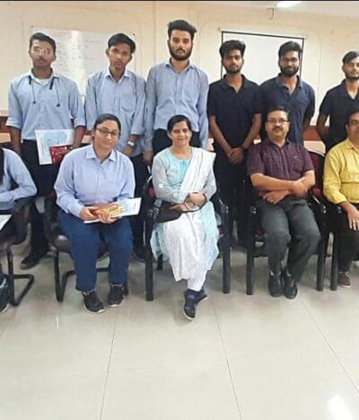
Mr. Shubham Saxena of Civil Engineering Department told that Geospatial Modeling is the first course to be started as a nodal center in Anand Engineering College. The course will be conducted in the format of interactive sessions in the state-of-the-art Audio Visual room.
IIRS Outreach Program is being conducted through two major modes of Live and Interactive Classroom Sessions (also known as EDUSAT) and E-learning based online courses. The live and interactive mode of distance education is through internet and A-view software platform developed by Amrita E-learning Lab in collaboration with the Ministry of Human Resource Development. IIRS has set up a state-of-the-art studio facility and control room to broadcast live and interactive classroom sessions and practical demonstrations through its Distance Education Centre.
On this effort of the Civil Engineering Department, Head of Department Mr. Aatrey Pandey, Director Dr. Shailendra Singh, Executive Vice President Prof. V.K.Sharma and Vice Chairman Mr. Y.K.Gupta congratulated the entire Civil Engineering Department and inspired for doing more such works in future.
